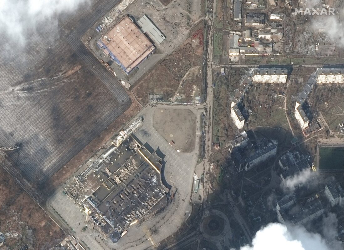
Компания Maxar Technologies опубликовала спутниковые снимки Мариуполя. Последние снимки сделаны 9 марта около 10 утра по местному времени. На снимках видны разрушенные жилые дома, магазины и другие объекты.
Мариуполь находится в блокаде девять дней. Сегодня российские войска нанесли авиаудар по детской больнице и роддому.
Our latest #satellite imagery from this morning, March 9, 2022, 10:16 a.m. local time, of the crisis in Ukraine. This set of before and after images show destroyed homes and buildings of the besieged southern #Ukraine city of #Mariupol. (Location: 47.104, 37.560) pic.twitter.com/RywSTPqUKZ
— Maxar Technologies (@Maxar) March 9, 2022
March 9, 2022 #satelliteimagery taken at 10:16 a.m. local time show grocery stores and shopping malls that have been destroyed in the western section of the Ukrainian city of #Mariupol. (Location: 47.101, 37.504) pic.twitter.com/ElRuyu1rYf
— Maxar Technologies (@Maxar) March 9, 2022
In these before and after #satellite images of #Mariupol, #Ukraine you can see destruction of homes and building. The latest imagery is from 10:16 a.m. local time on March 9, 2022. (Location: 47.099, 37.662) pic.twitter.com/J9eXaPg7gl
— Maxar Technologies (@Maxar) March 9, 2022


